Finally, Relief

Since I was already using OGIS height information, the step to rendering those height differences wasn’t huge. Getting editing tools working the way I want, was somewhat more complex. Still work-in-progress, but we’re making headway.
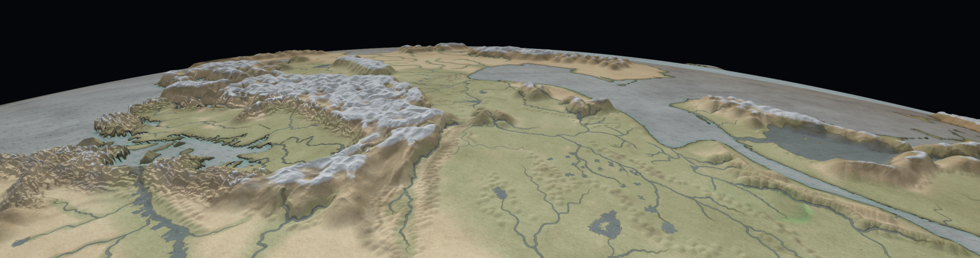
This is an overview shot, with the relief exagerated by something like 15 times to make it visible on a global scale. You can change the exageration on the fly.
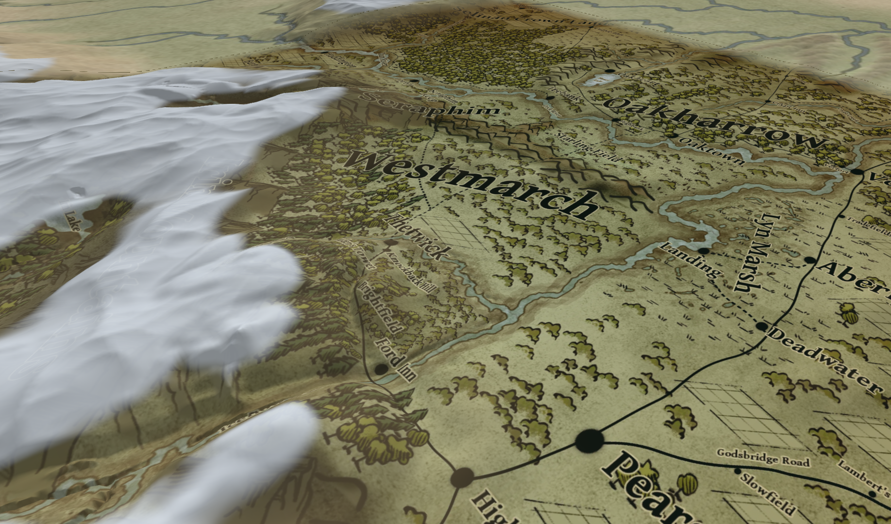
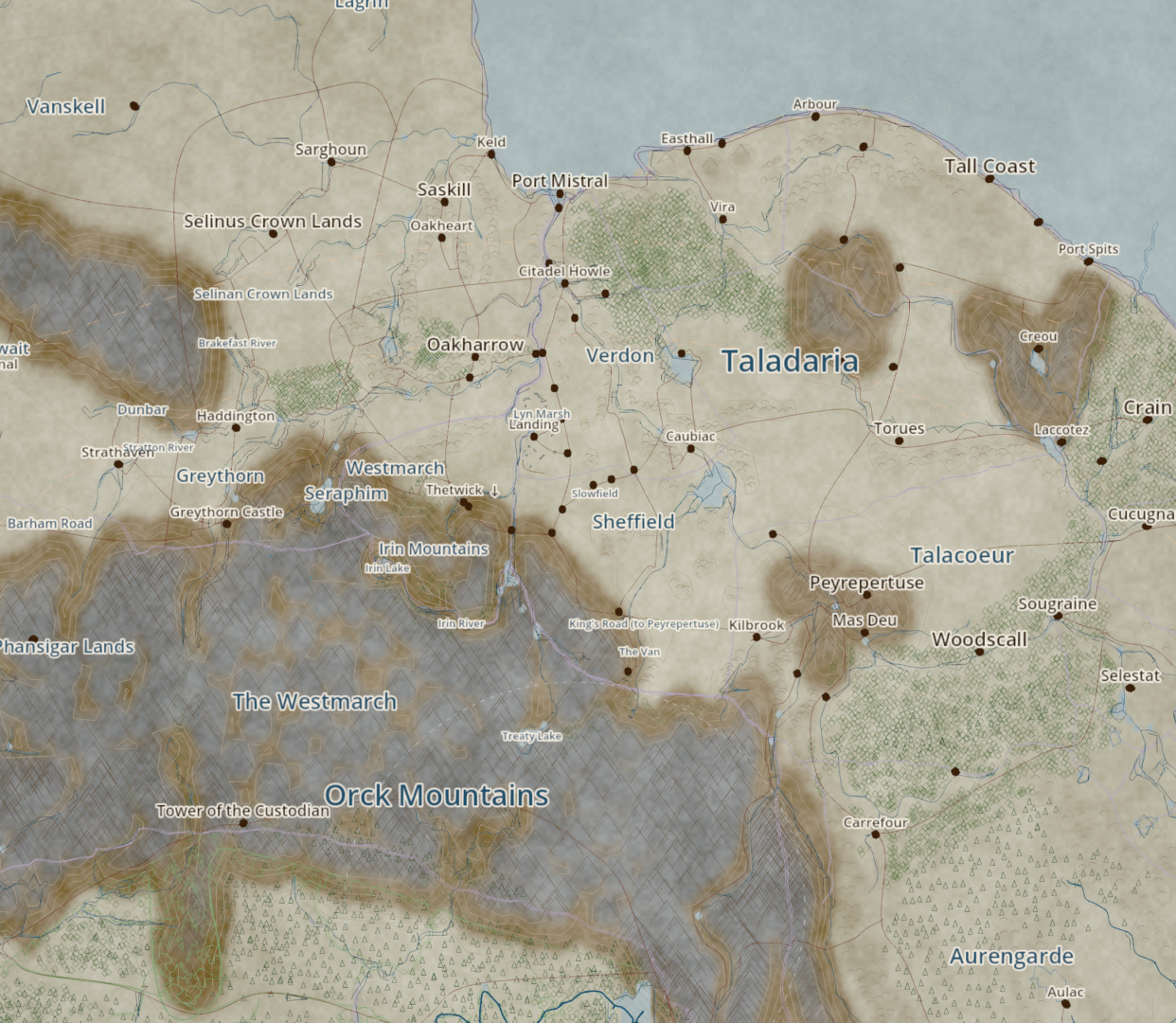
The Thetwick area (features prominently in The Half Elven Orphan), with map overlays turned on. You can see my new snow feature lays over the top of it for currently unknown reasons.
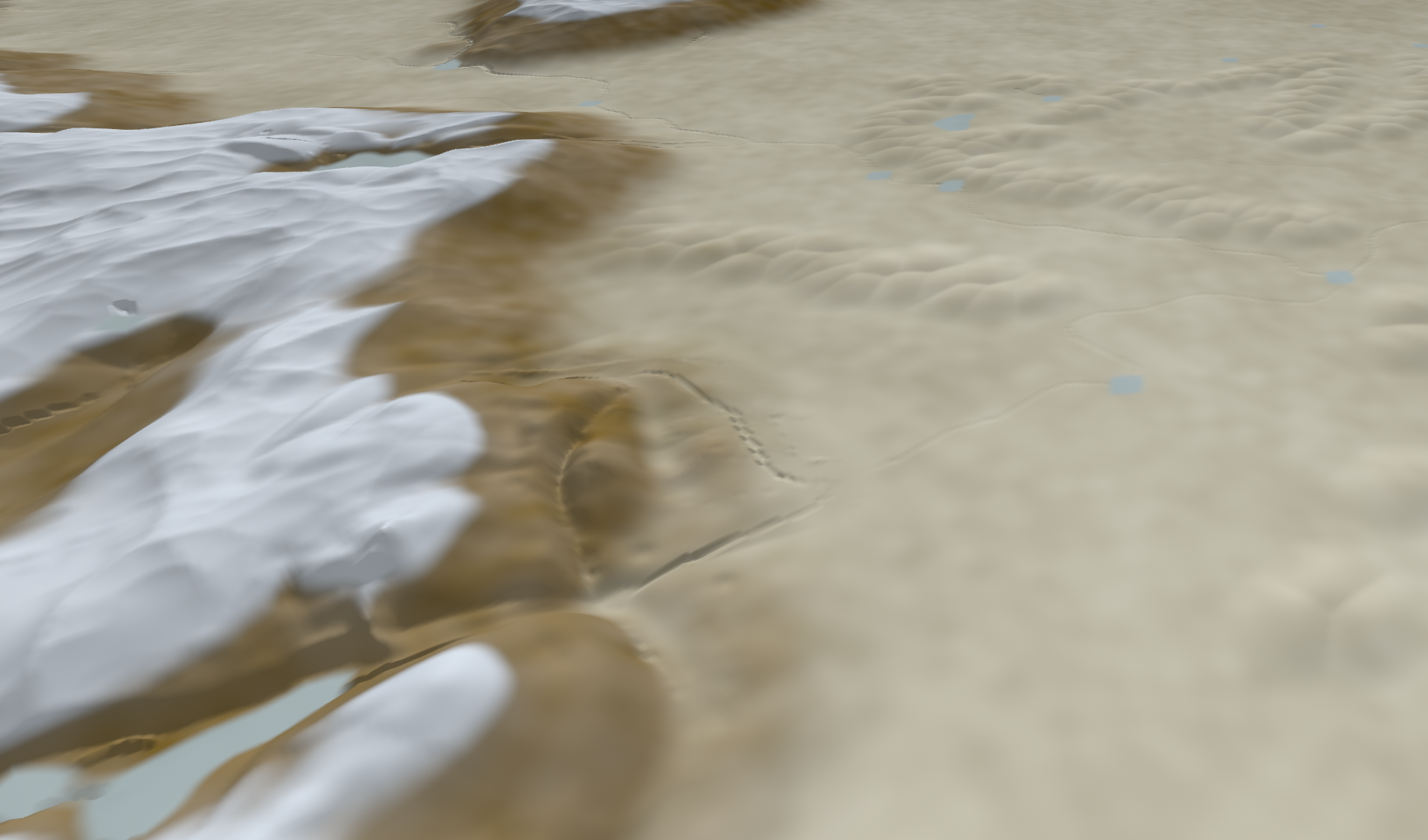
Exact same shot with map overlays off. As you can see, I’m still working on refining the brushes to be able to get natural heights. Keeping rivers flowing downhill is an interesting thing for the tool to have to accomodate.

As I’m working on this, I’m beginning to think that maybe I will be able to place buildings and plots with this eventually. Mainly I’m wondering if I can keep it usable. This now already has a two-step system where it shows the changes made immediately, then bakes it in in a background process.
More Mapping

So a little update on my efforts to get my Wonderdraft-drawn maps projected onto a 3d Globe in Godot 4. I’m working from I think five wonderdraft maps and some edits of them. I’ve used Claude Code to project them onto a Globe in Godot 4.

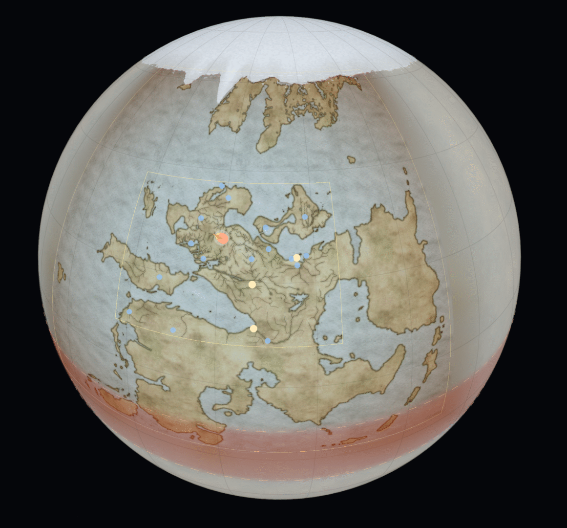
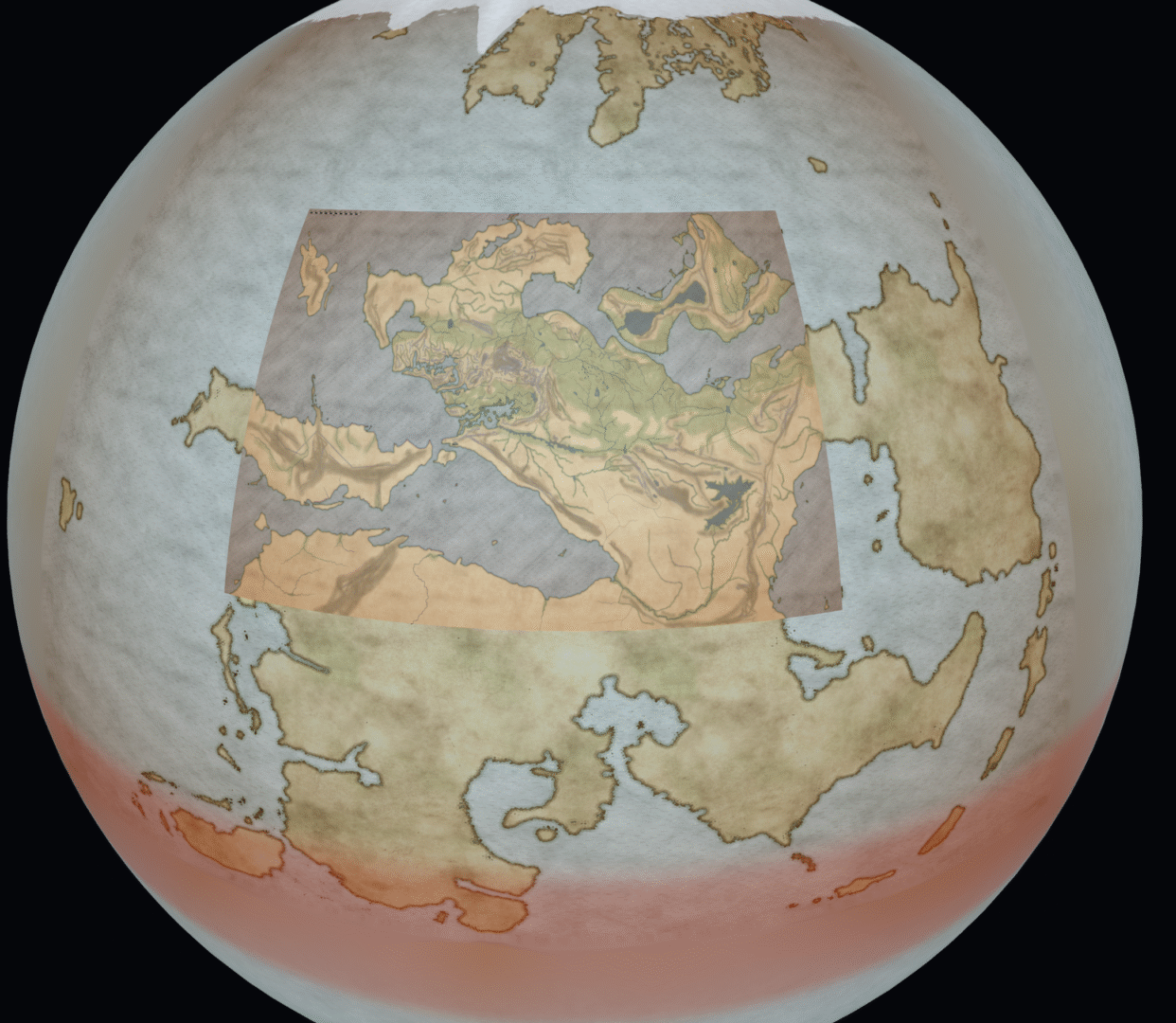
Vatan Globe, view of Taldyr with projected maps
The globe, with a view that gives you an idea of some of the projected maps.

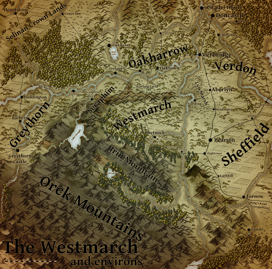
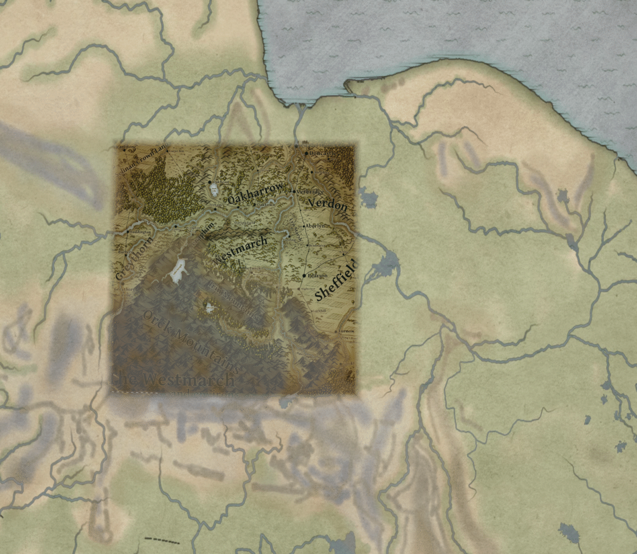
Then more zoom below, so that the Thetwick environs map becomes visible too. You can find the map here if you want to see the original.

Projection of the Thetwick and environs map onto a globe.
The Thetwick environs map (available on this website) projected over the rougher maps onto the globe.

I then analysed all the projected layers to automatically trace them into an OGIS format that is then displayed on the globe again.

OGIS Map version of the Thetwick area.
This is what the extracted data looks like when I display the OGIS result on the globe.

I’m going to take it further as I need it of course. I’ve got some tools now, to draw hills, roads, rivers and settlements, so it should be much easier to map my writing from now on. Quite pleased with these steps, if I do say so myself.

Vatan in Godot 4

I’ve long wanted to get a lot of the data from my settings into a 3D engine. Ideally I’d eventually like to edit maps directly on a globe, including things like defining elevation roads, rivers, towns and whatnot. When I grow up, who knows, I may have a bunch of the work done for a game already too.

I’ve chosen to work in Godot 4, it’s open source and I’ve supported it in the past. Guess the idea of leaving the IP of the basis for you 3D program in the hands of someone else just never seemed like a good idea to me.

Since I have never had time to actually sit down and learn everything I needed to build something in an engine like Godot, Claude Code is somehting of a godsend for me. I know what I want and how I want it, and I do have some experience programming. I’m finding that with that basis, getting Claude to do the drudge work is saving me massive amounts of time.

Below is the first thing that I might call a result. My master map of Vatan projected onto a globe of the dimensions I defined for the planet. Vatan is very hot round the equator and very cold at the poles. It’s far larger than earth, but it’s core is less dense than Earth’s Iron core, so gravity is about the same. There’s about an Earth’s worth of habitable climate in each of the hemispheres.

I’m going to put the moon in, and simulate rotation which will give me time differences and all sorts of other detailed goodies.

Someday I’d like to release a RPG setting for Tales of Vatan, and to me personally a tool that will tell you when sunrise and sunset is something that would make a setting feel far more alive. To me, using these kinds of tools to get the physics of a world right makes it much more alive.

Next step is analysing all the other materilal I already have getting it into the engine, and building mapping tools to be able to extend the map detail in the 3D engine. I also want to give things a live link to the database, so that sites described there are linked to places on the 3D globe. Godot is a game engine of course, so I’m also trying to make a scene for Thetwick, just as a test. Not nice enough to show anyone yet, but something else interesting to explore.